Hoolmyre
Introduction
The photograph on this page of Hoolmyre by Mick Garratt as part of the Geograph project.
The Geograph project started in 2005 with the aim of publishing, organising and preserving representative images for every square kilometre of Great Britain, Ireland and the Isle of Man.

There are currently over 7.5m images from over 14,400 individuals and you can help contribute to the project by visiting https://www.geograph.org.uk
Hoolmyre
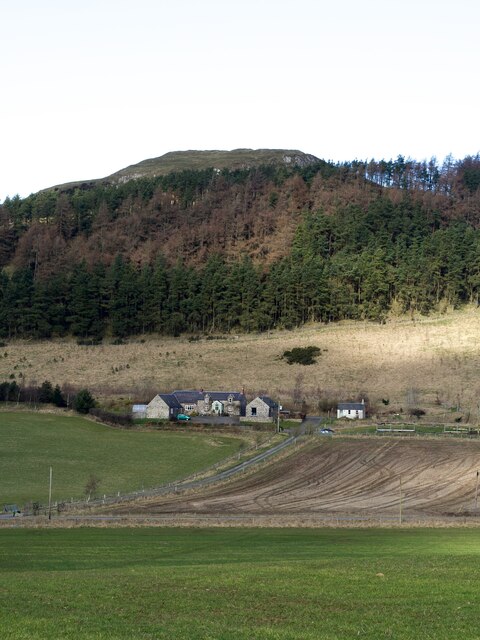
Image: © Mick Garratt Taken: 8 Mar 2023
In 1970, a Socketed Axehead dating all the way back to the Bronze Age was discovered in the Whistle Naked Field below the farm. What kind of stories that ancient tool could tell? Source: ‘Hoolmyre | Canmore’. 2023. Canmore.org.uk
Images are licensed for reuse under creativecommons.org/licenses/by-sa/2.0
Image Location


Leaflet Map data © OpenStreetMap
Latitude
56.468261
Longitude
-3.275228