Railway east of Purfleet station
Introduction
The photograph on this page of Railway east of Purfleet station by Robin Webster as part of the Geograph project.
The Geograph project started in 2005 with the aim of publishing, organising and preserving representative images for every square kilometre of Great Britain, Ireland and the Isle of Man.

There are currently over 7.5m images from over 14,400 individuals and you can help contribute to the project by visiting https://www.geograph.org.uk
Railway east of Purfleet station
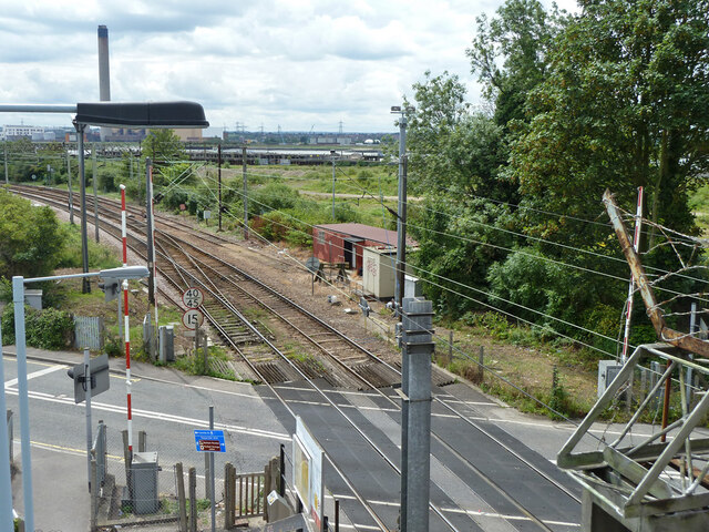
Image: © Robin Webster Taken: 19 Jun 2011
When the industry around here was in its heyday, and used the railways more, a shunting engine used to be parked when out of use at the end of this headshunt. In diesel days it was usually a class 03 from Stratford.
Images are licensed for reuse under creativecommons.org/licenses/by-sa/2.0
Image Location
Latitude
51.480233
Longitude
0.23706