Scaffolding on a Herne Farm home
Introduction
The photograph on this page of Scaffolding on a Herne Farm home by Basher Eyre as part of the Geograph project.
The Geograph project started in 2005 with the aim of publishing, organising and preserving representative images for every square kilometre of Great Britain, Ireland and the Isle of Man.

There are currently over 7.5m images from over 14,400 individuals and you can help contribute to the project by visiting https://www.geograph.org.uk
Scaffolding on a Herne Farm home
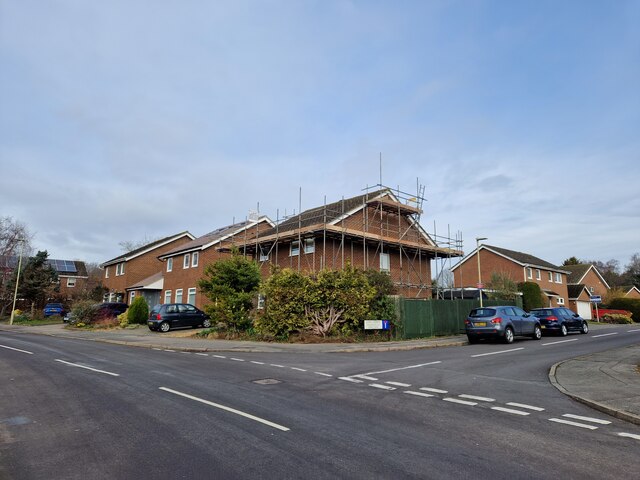
Image: © Basher Eyre Taken: 11 Mar 2023
Taken at the junction of Moggs Mead and Long Down. This year 37,033 photos have been submitted to the site of which 137 are mine (0.37%) of the total.
Images are licensed for reuse under creativecommons.org/licenses/by-sa/2.0
Image Location
Latitude
51.006994
Longitude
-0.922416