Looking along the B6173 at Tanfield Lea
Introduction
The photograph on this page of Looking along the B6173 at Tanfield Lea by Robert Graham as part of the Geograph project.
The Geograph project started in 2005 with the aim of publishing, organising and preserving representative images for every square kilometre of Great Britain, Ireland and the Isle of Man.

There are currently over 7.5m images from over 14,400 individuals and you can help contribute to the project by visiting https://www.geograph.org.uk
Looking along the B6173 at Tanfield Lea
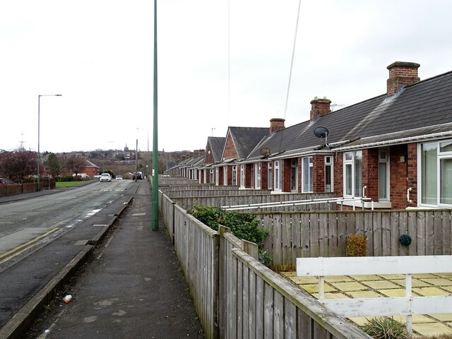
Image: © Robert Graham Taken: 6 Mar 2023
Looking towards Stanley on the hill top with the tower of St Andrew's Church visible. On the right here are the aged miners bungalows of Memorial Homes. Built in 1912 by the Joicey family of local coal owners.
Images are licensed for reuse under creativecommons.org/licenses/by-sa/2.0
Image Location
Latitude
54.880143
Longitude
-1.710852