Site of Medieval Farmstead and Ring Enclosure
Introduction
The photograph on this page of Site of Medieval Farmstead and Ring Enclosure by Mick Garratt as part of the Geograph project.
The Geograph project started in 2005 with the aim of publishing, organising and preserving representative images for every square kilometre of Great Britain, Ireland and the Isle of Man.

There are currently over 7.5m images from over 14,400 individuals and you can help contribute to the project by visiting https://www.geograph.org.uk
Site of Medieval Farmstead and Ring Enclosure
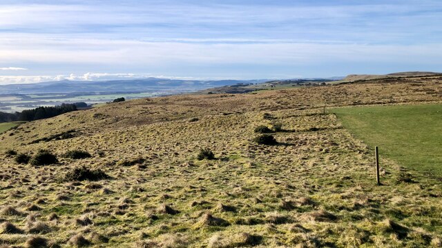
Image: © Mick Garratt Taken: 9 Mar 2023
Running around the foothills of the Sidlaw Hills above Fingask, and, as usual, I was easily distracted trying to locate the humps and bumps indicative of archaeological features. All the features turned out to be quite subtle, except for this farmstead, which was particularly noticeable, thanks to the low winter sun. The discovery of the site was made through aerial photography, which remains the most effective method for obtaining a comprehensive view of it. Located on the eastern side of an extensive field system, the farmstead consists of two adjacent rectangular enclosures and the remnants of a 10.4 x 5m building, which was likely constructed from turf. To the south and adjacent to the two rectangular enclosures of the farmstead, there are the remains of a circular enclosure, measuring approximately 6m in diameter and characterised by a low bank. For sources see my blog post http://www.fhithich.uk/?p=31689
Images are licensed for reuse under creativecommons.org/licenses/by-sa/2.0
Image Location
Latitude
56.442374
Longitude
-3.264855