House at top of field
Introduction
The photograph on this page of House at top of field by Trevor Littlewood as part of the Geograph project.
The Geograph project started in 2005 with the aim of publishing, organising and preserving representative images for every square kilometre of Great Britain, Ireland and the Isle of Man.

There are currently over 7.5m images from over 14,400 individuals and you can help contribute to the project by visiting https://www.geograph.org.uk
House at top of field
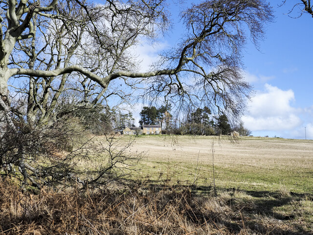
Image: © Trevor Littlewood Taken: 8 Mar 2023
The house at Tarry seen from the byway climbing towards it. Russel Wills has a similar image: in his description he tells that the name comes from a type of coal that once was mined there, having a high tar content - https://www.geograph.org.uk/photo/3282438 .
Images are licensed for reuse under creativecommons.org/licenses/by-sa/2.0
Image Location
Latitude
55.477749
Longitude
-1.828159