Freemason's Road, Croydon
Introduction
The photograph on this page of Freemason's Road, Croydon by Malc McDonald as part of the Geograph project.
The Geograph project started in 2005 with the aim of publishing, organising and preserving representative images for every square kilometre of Great Britain, Ireland and the Isle of Man.

There are currently over 7.5m images from over 14,400 individuals and you can help contribute to the project by visiting https://www.geograph.org.uk
Freemason's Road, Croydon
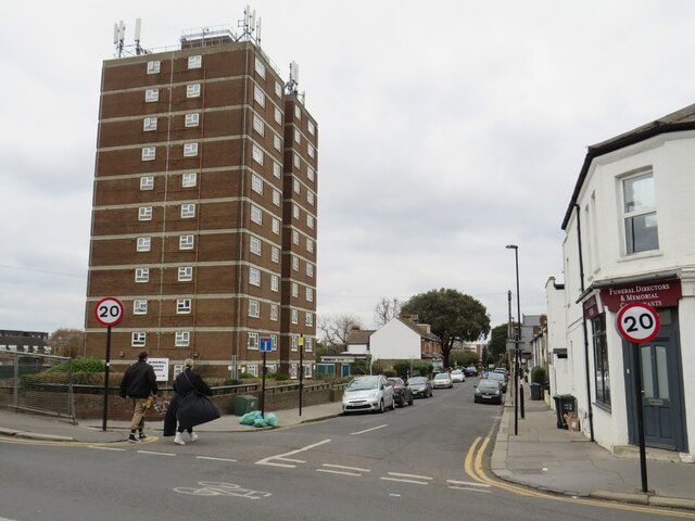
Image: © Malc McDonald Taken: 4 Mar 2023
Freemason's Road is a minor residential road in Croydon, in the outer suburbs of south London. A high rise block of flats stands to the left of the road. Traffic signs indicate that the speed limit on Freemason's Road is 20 miles per hour.
Images are licensed for reuse under creativecommons.org/licenses/by-sa/2.0
Image Location
Latitude
51.380975
Longitude
-0.089547