Wooded land in Oakington
Introduction
The photograph on this page of Wooded land in Oakington by Hugh Venables as part of the Geograph project.
The Geograph project started in 2005 with the aim of publishing, organising and preserving representative images for every square kilometre of Great Britain, Ireland and the Isle of Man.

There are currently over 7.5m images from over 14,400 individuals and you can help contribute to the project by visiting https://www.geograph.org.uk
Wooded land in Oakington
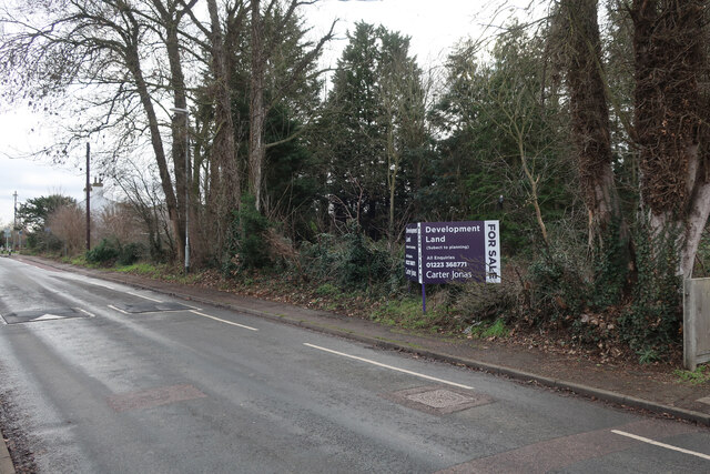
Image: © Hugh Venables Taken: 5 Jan 2023
Within the village so planning may be plausible, but with a sufficient housing supply from large housing developments such as the nearby new town of Northstowe, the planning committee can at least reject applications if they want.
Images are licensed for reuse under creativecommons.org/licenses/by-sa/2.0
Image Location
Latitude
52.257609
Longitude
0.065855