The Firhill Basin
Introduction
The photograph on this page of The Firhill Basin by Richard Sutcliffe as part of the Geograph project.
The Geograph project started in 2005 with the aim of publishing, organising and preserving representative images for every square kilometre of Great Britain, Ireland and the Isle of Man.

There are currently over 7.5m images from over 14,400 individuals and you can help contribute to the project by visiting https://www.geograph.org.uk
The Firhill Basin
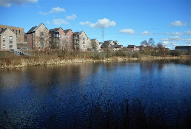
Image: © Richard Sutcliffe Taken: 8 Mar 2023
Former timber basin beside the Forth and Clyde Canal. The steps (far left) lead down to a landing stage on the canal itself, which is behind the strip of vegetation-covered land that can be seen. The flats behind are on Panmure Gate.
Images are licensed for reuse under creativecommons.org/licenses/by-sa/2.0
Image Location
Latitude
55.882381
Longitude
-4.270054