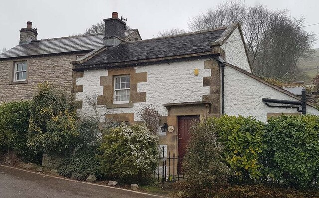
Toll Bar Cottage, Crowdecote
Introduction
The photograph on this page of Toll Bar Cottage, Crowdecote by Mike Parsons as part of the Geograph project.
The Geograph project started in 2005 with the aim of publishing, organising and preserving representative images for every square kilometre of Great Britain, Ireland and the Isle of Man.
There are currently over 7.5m images from over 14,400 individuals and you can help contribute to the project by visiting https://www.geograph.org.uk

Image: © Mike Parsons Taken: 9 Mar 2023
On what is now an unclassified road and near Crowdecote Bridge across the River Dove (Grade II), which also marks the boundary between Staffordshire and Derbyshire. House has a visible benchmark representing 251.2m Above Sea Level. Erected/used by the Leek, Hassop, Middlehills & Buxton Turnpike Trust 1765-1832. Milestone Society National ID: ST.LON

