Rhaeadr ar yr afon Gwyrfai / Waterfall on Afon Gwyrfai
Introduction
The photograph on this page of Rhaeadr ar yr afon Gwyrfai / Waterfall on Afon Gwyrfai by Christine Johnstone as part of the Geograph project.
The Geograph project started in 2005 with the aim of publishing, organising and preserving representative images for every square kilometre of Great Britain, Ireland and the Isle of Man.

There are currently over 7.5m images from over 14,400 individuals and you can help contribute to the project by visiting https://www.geograph.org.uk
Rhaeadr ar yr afon Gwyrfai / Waterfall on Afon Gwyrfai
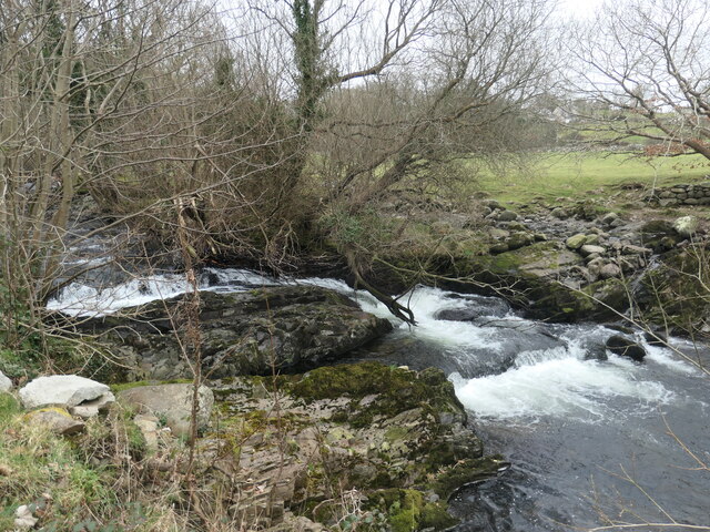
Image: © Christine Johnstone Taken: 4 Mar 2023
The OS map surveyed in 1888 shows a wool factory upstream of here and a water-powered corn mill downstream. The farm here is called Dol Pandy - 'pandy' being Welsh for fulling mill.
Images are licensed for reuse under creativecommons.org/licenses/by-sa/2.0
Image Location
Latitude
53.114983
Longitude
-4.264446