Tanfield Leith farm from the access road
Introduction
The photograph on this page of Tanfield Leith farm from the access road by Robert Graham as part of the Geograph project.
The Geograph project started in 2005 with the aim of publishing, organising and preserving representative images for every square kilometre of Great Britain, Ireland and the Isle of Man.

There are currently over 7.5m images from over 14,400 individuals and you can help contribute to the project by visiting https://www.geograph.org.uk
Tanfield Leith farm from the access road
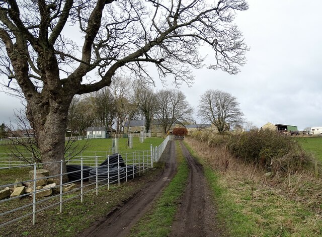
Image: © Robert Graham Taken: 6 Mar 2023
Looking up to the old farmstead of Tanfield Leith along the farm track. This used to be the main road from Tantobie to Tanfield Lea until the late 19th century when a shorter route was made which later became the present B6173.
Images are licensed for reuse under creativecommons.org/licenses/by-sa/2.0
Image Location
Latitude
54.885735
Longitude
-1.71923