Former inclined railway to Seaham docks
Introduction
The photograph on this page of Former inclined railway to Seaham docks by David Robinson as part of the Geograph project.
The Geograph project started in 2005 with the aim of publishing, organising and preserving representative images for every square kilometre of Great Britain, Ireland and the Isle of Man.

There are currently over 7.5m images from over 14,400 individuals and you can help contribute to the project by visiting https://www.geograph.org.uk
Former inclined railway to Seaham docks
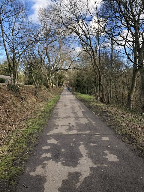
Image: © David Robinson Taken: 7 Mar 2023
Looking down the former incline that ran from Seaham colliery to Seaham docks. Now a foot / cycle route from the railway station to the town centre and the Durham coast.
Images are licensed for reuse under creativecommons.org/licenses/by-sa/2.0
Image Location
Latitude
54.838354
Longitude
-1.341522