Confluence of Bonesgate Stream and Hogsmill River near Tolworth
Introduction
The photograph on this page of Confluence of Bonesgate Stream and Hogsmill River near Tolworth by Malc McDonald as part of the Geograph project.
The Geograph project started in 2005 with the aim of publishing, organising and preserving representative images for every square kilometre of Great Britain, Ireland and the Isle of Man.

There are currently over 7.5m images from over 14,400 individuals and you can help contribute to the project by visiting https://www.geograph.org.uk
Confluence of Bonesgate Stream and Hogsmill River near Tolworth
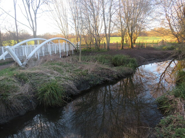
Image: © Malc McDonald Taken: 25 Feb 2023
A view of the Hogsmill River near Tolworth, on the fringe of south west London. Bonesgate Stream flows under the white bridge to the left and into the Hogsmill River here. The area in the foreground is in the county of Surrey, but the boundary with Greater London follows Bonesgate Stream and the Hogsmill River ahead. The land beyond the white bridge is within Greater London.
Images are licensed for reuse under creativecommons.org/licenses/by-sa/2.0
Image Location
Latitude
51.370621
Longitude
-0.274164