The Masons Arms direction sign, Marshfield
Introduction
The photograph on this page of The Masons Arms direction sign, Marshfield by Jaggery as part of the Geograph project.
The Geograph project started in 2005 with the aim of publishing, organising and preserving representative images for every square kilometre of Great Britain, Ireland and the Isle of Man.

There are currently over 7.5m images from over 14,400 individuals and you can help contribute to the project by visiting https://www.geograph.org.uk
The Masons Arms direction sign, Marshfield
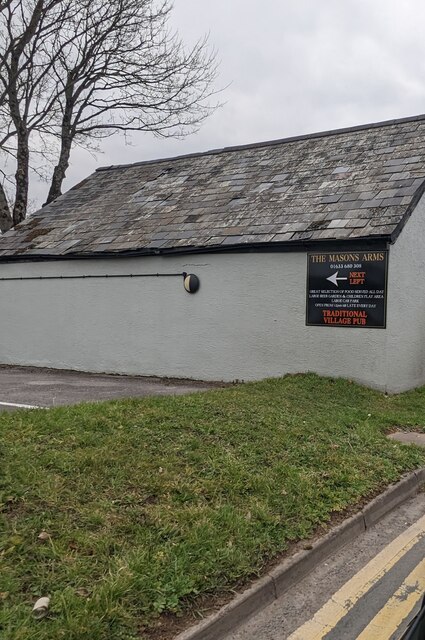
Image: © Jaggery Taken: 5 Mar 2023
Facing St Mellons Road. Next left for the traditional village pub.
Images are licensed for reuse under creativecommons.org/licenses/by-sa/2.0
Image Location
Latitude
51.532406
Longitude
-3.06721