Brown's Lane bridge
Introduction
The photograph on this page of Brown's Lane bridge by Neil Owen as part of the Geograph project.
The Geograph project started in 2005 with the aim of publishing, organising and preserving representative images for every square kilometre of Great Britain, Ireland and the Isle of Man.

There are currently over 7.5m images from over 14,400 individuals and you can help contribute to the project by visiting https://www.geograph.org.uk
Brown's Lane bridge
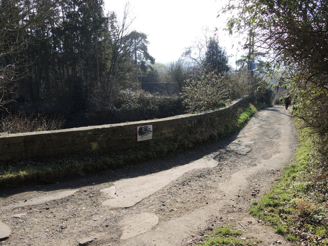
Image: © Neil Owen Taken: 7 Feb 2023
Known locally as Schoolboys' Bridge, due to its proximity to the college. Curiously, the railways refer to it as Shepherds Overbridge.
Images are licensed for reuse under creativecommons.org/licenses/by-sa/2.0
Image Location
Latitude
51.743382
Longitude
-2.273545