OS benchmark - Rubery, Rednal Library
Introduction
The photograph on this page of OS benchmark - Rubery, Rednal Library by Richard Law as part of the Geograph project.
The Geograph project started in 2005 with the aim of publishing, organising and preserving representative images for every square kilometre of Great Britain, Ireland and the Isle of Man.

There are currently over 7.5m images from over 14,400 individuals and you can help contribute to the project by visiting https://www.geograph.org.uk
OS benchmark - Rubery, Rednal Library
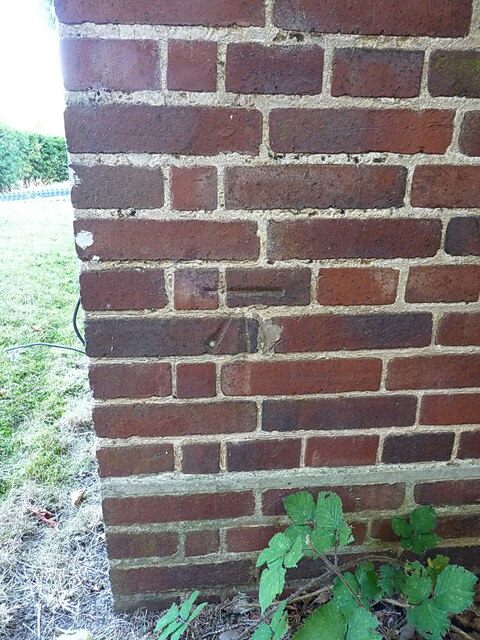
Image: © Richard Law Taken: 10 Aug 2022
Located on the south face of Image, this mark was verified by the OS in 1956 at 211.595m above Ordnance Datum Newlyn.
Images are licensed for reuse under creativecommons.org/licenses/by-sa/2.0
Image Location
Latitude
52.391329
Longitude
-2.008993