Roadway to Highfield House
Introduction
The photograph on this page of Roadway to Highfield House by Jonathan Thacker as part of the Geograph project.
The Geograph project started in 2005 with the aim of publishing, organising and preserving representative images for every square kilometre of Great Britain, Ireland and the Isle of Man.

There are currently over 7.5m images from over 14,400 individuals and you can help contribute to the project by visiting https://www.geograph.org.uk
Roadway to Highfield House
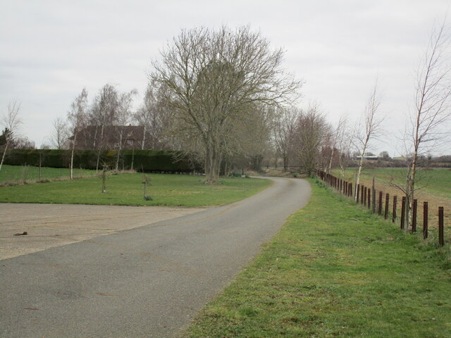
Image: © Jonathan Thacker Taken: 4 Mar 2023
The first part of this roadway (as far as the bend) follows the course of the former military railway to Cranwell https://en.wikipedia.org/wiki/Cranwell_branch
Images are licensed for reuse under creativecommons.org/licenses/by-sa/2.0
Image Location
Latitude
53.020045
Longitude
-0.433