Ludbridge Close, East Hendred
Introduction
The photograph on this page of Ludbridge Close, East Hendred by Des Blenkinsopp as part of the Geograph project.
The Geograph project started in 2005 with the aim of publishing, organising and preserving representative images for every square kilometre of Great Britain, Ireland and the Isle of Man.

There are currently over 7.5m images from over 14,400 individuals and you can help contribute to the project by visiting https://www.geograph.org.uk
Ludbridge Close, East Hendred
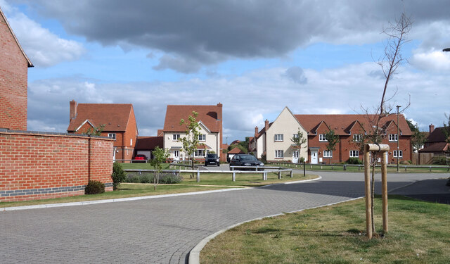
Image: © Des Blenkinsopp Taken: 11 Sep 2021
More or less every town and village around here has expanded considerably in recent years. A new road in East Hendred named after Lud Bridge which is not far away where the main road goes over the East Hendred Brook.
Images are licensed for reuse under creativecommons.org/licenses/by-sa/2.0
Image Location
Latitude
51.601307
Longitude
-1.338535