Fern Royd
Introduction
The photograph on this page of Fern Royd by Bob Harvey as part of the Geograph project.
The Geograph project started in 2005 with the aim of publishing, organising and preserving representative images for every square kilometre of Great Britain, Ireland and the Isle of Man.

There are currently over 7.5m images from over 14,400 individuals and you can help contribute to the project by visiting https://www.geograph.org.uk
Fern Royd
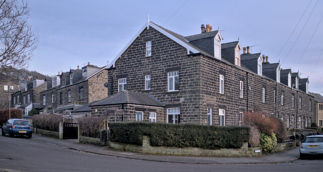
Image: © Bob Harvey Taken: 15 Feb 2023
Fern Royd is the name of this block of homes. A "Royd" is defined in the Yorkshire historic dictionary, as "A dialect spelling of 'rod', a word for an enclosed clearing or assart, often the work of an individual rather than the community as a whole." - https://yorkshiredictionary.york.ac.uk/words/royd.
Images are licensed for reuse under creativecommons.org/licenses/by-sa/2.0
Image Location


Leaflet Map data © OpenStreetMap
Latitude
53.329641
Longitude
-1.653264