Glebelands Close
Introduction
The photograph on this page of Glebelands Close by Alan Murray-Rust as part of the Geograph project.
The Geograph project started in 2005 with the aim of publishing, organising and preserving representative images for every square kilometre of Great Britain, Ireland and the Isle of Man.

There are currently over 7.5m images from over 14,400 individuals and you can help contribute to the project by visiting https://www.geograph.org.uk
Glebelands Close
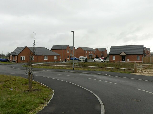
Image: © Alan Murray-Rust Taken: 1 Mar 2023
Recent housing development on the northern edge of the village. The name derives from the fact that it is on land formerly part of Glebe Farm.
Images are licensed for reuse under creativecommons.org/licenses/by-sa/2.0
Image Location
Latitude
52.870816
Longitude
-1.200843