Long Hill, Woldingham
Introduction
The photograph on this page of Long Hill, Woldingham by Marathon as part of the Geograph project.
The Geograph project started in 2005 with the aim of publishing, organising and preserving representative images for every square kilometre of Great Britain, Ireland and the Isle of Man.

There are currently over 7.5m images from over 14,400 individuals and you can help contribute to the project by visiting https://www.geograph.org.uk
Long Hill, Woldingham
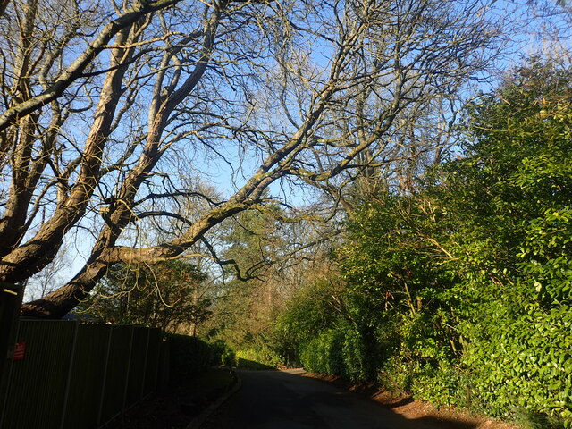
Image: © Marathon Taken: 2 Mar 2023
There is a notice near this point saying "Private street, Unmade single track ahead, Unsuitable for motor vehicles." This is just past the primary school. Ian Nairn in 'The Buildings of England: Surrey' describes Woldingham: "This tiny downland hamlet SE of Caterham has gradually become a very leafy suburb. The parish is full of steep-sided valleys and the houses are hidden away in these, usually drowned in trees - an object lesson to the brutally expanded Warlingham, next door."
Images are licensed for reuse under creativecommons.org/licenses/by-sa/2.0
Image Location
Latitude
51.288668
Longitude
-0.038165