Milverton
Introduction
The photograph on this page of Milverton by Ian Capper as part of the Geograph project.
The Geograph project started in 2005 with the aim of publishing, organising and preserving representative images for every square kilometre of Great Britain, Ireland and the Isle of Man.

There are currently over 7.5m images from over 14,400 individuals and you can help contribute to the project by visiting https://www.geograph.org.uk
Milverton
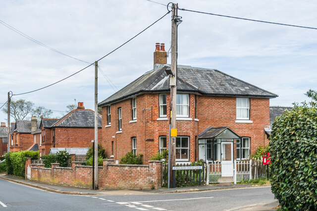
Image: © Ian Capper Taken: 10 May 2022
Late Victorian house on Foreland Farm Lane by its junction with Lane End Road, first marked on the 1898 6 inch map.
Images are licensed for reuse under creativecommons.org/licenses/by-sa/2.0
Image Location
Latitude
50.687416
Longitude
-1.075137