Llwybr wrth ystlys coed / Path on the edge of woodland
Introduction
The photograph on this page of Llwybr wrth ystlys coed / Path on the edge of woodland by Alan Richards as part of the Geograph project.
The Geograph project started in 2005 with the aim of publishing, organising and preserving representative images for every square kilometre of Great Britain, Ireland and the Isle of Man.

There are currently over 7.5m images from over 14,400 individuals and you can help contribute to the project by visiting https://www.geograph.org.uk
Llwybr wrth ystlys coed / Path on the edge of woodland
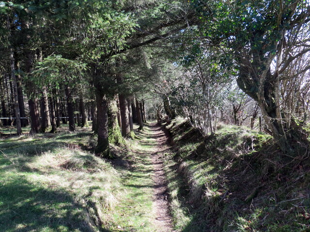
Image: © Alan Richards Taken: 2 Mar 2023
Llwybr troed cyhoeddus ar ystlys planhigfa gonifferaidd Eithin. A public footpath on the edge of Eithin (trans. gorse) conifer plantation.
Images are licensed for reuse under creativecommons.org/licenses/by-sa/2.0
Image Location
Latitude
51.849536
Longitude
-4.539111