Butlers Dene Road
Introduction
The photograph on this page of Butlers Dene Road by Marathon as part of the Geograph project.
The Geograph project started in 2005 with the aim of publishing, organising and preserving representative images for every square kilometre of Great Britain, Ireland and the Isle of Man.

There are currently over 7.5m images from over 14,400 individuals and you can help contribute to the project by visiting https://www.geograph.org.uk
Butlers Dene Road
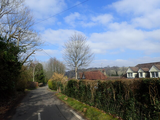
Image: © Marathon Taken: 2 Mar 2023
Butlers Dene Road is lined either side by very exclusive houses. If it is a private road, it is a very well maintained one. Ian Nairn in 'The Buildings of England: Surrey' describes Woldingham: "This tiny downland hamlet SE of Caterham has gradually become a very leafy suburb. The parish is full of steep-sided valleys and the houses are hidden away in these, usually drowned in trees - an object lesson to the brutally expanded Warlingham, next door."
Images are licensed for reuse under creativecommons.org/licenses/by-sa/2.0
Image Location


Leaflet Map data © OpenStreetMap
Latitude
51.291944
Longitude
-0.029706