The edge of Boghead Wood
Introduction
The photograph on this page of The edge of Boghead Wood by Richard Sutcliffe as part of the Geograph project.
The Geograph project started in 2005 with the aim of publishing, organising and preserving representative images for every square kilometre of Great Britain, Ireland and the Isle of Man.

There are currently over 7.5m images from over 14,400 individuals and you can help contribute to the project by visiting https://www.geograph.org.uk
The edge of Boghead Wood
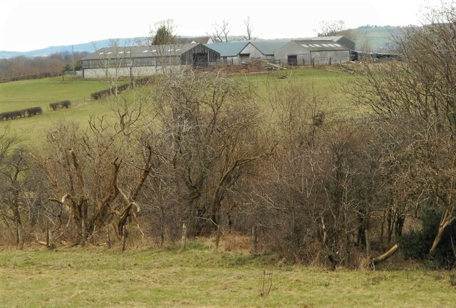
Image: © Richard Sutcliffe Taken: 28 Feb 2023
With Bearhill Farm behind. This zoomed shot makes it appear that the farm is closer than it is. It is 500 metres away.
Images are licensed for reuse under creativecommons.org/licenses/by-sa/2.0
Image Location
Latitude
55.921077
Longitude
-4.177725