High Street, Farndon and a County Bridge Marker
Introduction
The photograph on this page of High Street, Farndon and a County Bridge Marker by John S Turner as part of the Geograph project.
The Geograph project started in 2005 with the aim of publishing, organising and preserving representative images for every square kilometre of Great Britain, Ireland and the Isle of Man.

There are currently over 7.5m images from over 14,400 individuals and you can help contribute to the project by visiting https://www.geograph.org.uk
High Street, Farndon and a County Bridge Marker
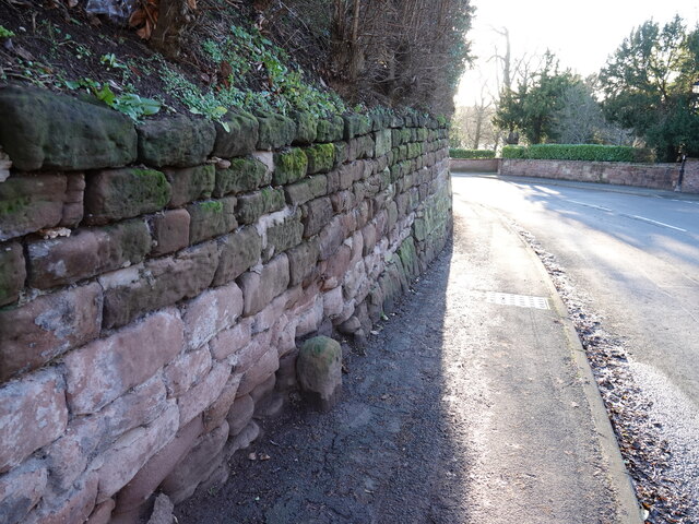
Image: © John S Turner Taken: 16 Jan 2023
Looking down High Street, Farndon in the direction of the bridge over the River Dee. On the left the old 'stone' is recorded on old maps, but its purpose is not stated. Too far from the river to be a national boundary stone, so it seems likely that it is a bridge marker stone indicating the county's responsibility for the road from this point. Image Milestone Society National ID: CH_FARN01br
Images are licensed for reuse under creativecommons.org/licenses/by-sa/2.0
Image Location
Latitude
53.084692
Longitude
-2.878995