Delabole main road
Introduction
The photograph on this page of Delabole main road by William Bartlett as part of the Geograph project.
The Geograph project started in 2005 with the aim of publishing, organising and preserving representative images for every square kilometre of Great Britain, Ireland and the Isle of Man.

There are currently over 7.5m images from over 14,400 individuals and you can help contribute to the project by visiting https://www.geograph.org.uk
Delabole main road
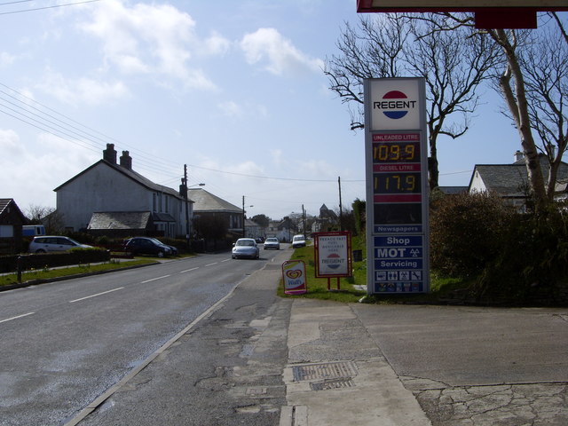
Image: © William Bartlett Taken: 28 Mar 2008
Delabole's petrol station here is on its expanding northwestern end. The main road becomes too narrow further along in the distance and traffic sometimes has problems getting through.
Images are licensed for reuse under creativecommons.org/licenses/by-sa/2.0
Image Location
Latitude
50.628537
Longitude
-4.726271