Wildflower meadow and willow arch, Nunckley Trail
Introduction
The photograph on this page of Wildflower meadow and willow arch, Nunckley Trail by Christine Johnstone as part of the Geograph project.
The Geograph project started in 2005 with the aim of publishing, organising and preserving representative images for every square kilometre of Great Britain, Ireland and the Isle of Man.

There are currently over 7.5m images from over 14,400 individuals and you can help contribute to the project by visiting https://www.geograph.org.uk
Wildflower meadow and willow arch, Nunckley Trail
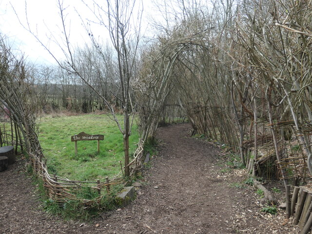
Image: © Christine Johnstone Taken: 25 Feb 2023
A path winding through woodland at the Mountsorrell and Rothley Community Heritage Centre.
Images are licensed for reuse under creativecommons.org/licenses/by-sa/2.0
Image Location


Leaflet Map data © OpenStreetMap
Latitude
52.721915
Longitude
-1.157372