Spooky wood interpreted on the Nunckley Trail
Introduction
The photograph on this page of Spooky wood interpreted on the Nunckley Trail by Christine Johnstone as part of the Geograph project.
The Geograph project started in 2005 with the aim of publishing, organising and preserving representative images for every square kilometre of Great Britain, Ireland and the Isle of Man.

There are currently over 7.5m images from over 14,400 individuals and you can help contribute to the project by visiting https://www.geograph.org.uk
Spooky wood interpreted on the Nunckley Trail
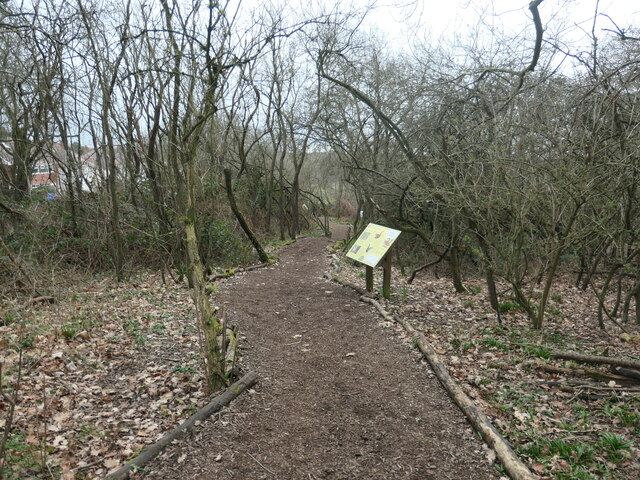
Image: © Christine Johnstone Taken: 25 Feb 2023
'Spooky' because of the twisted dense blackthorn. A path winding through woodland at the Mountsorrell and Rothley Community Heritage Centre.
Images are licensed for reuse under creativecommons.org/licenses/by-sa/2.0
Image Location
Latitude
52.722088
Longitude
-1.15648