Footpath from Trebarwith Road to Trenouth Farm
Introduction
The photograph on this page of Footpath from Trebarwith Road to Trenouth Farm by William Bartlett as part of the Geograph project.
The Geograph project started in 2005 with the aim of publishing, organising and preserving representative images for every square kilometre of Great Britain, Ireland and the Isle of Man.

There are currently over 7.5m images from over 14,400 individuals and you can help contribute to the project by visiting https://www.geograph.org.uk
Footpath from Trebarwith Road to Trenouth Farm
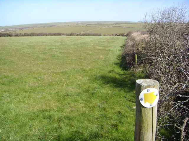
Image: © William Bartlett Taken: 28 Mar 2008
Taken from the top of the stile looking down the line of the hedge that runs along the road. The footpath runs across the field in the direction of the arrow.
Images are licensed for reuse under creativecommons.org/licenses/by-sa/2.0
Image Location
Latitude
50.633597
Longitude
-4.72911