Sheppey - View along coastal path near Cheyney Rock
Introduction
The photograph on this page of Sheppey - View along coastal path near Cheyney Rock by Rob Farrow as part of the Geograph project.
The Geograph project started in 2005 with the aim of publishing, organising and preserving representative images for every square kilometre of Great Britain, Ireland and the Isle of Man.

There are currently over 7.5m images from over 14,400 individuals and you can help contribute to the project by visiting https://www.geograph.org.uk
Sheppey - View along coastal path near Cheyney Rock
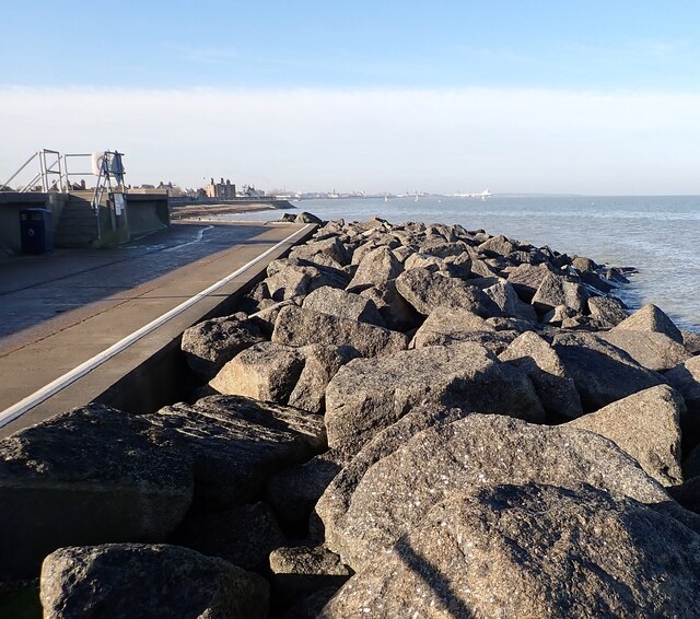
Image: © Rob Farrow Taken: 22 Jan 2023
The coastal path (actually a Restricted Byway) on the western section of the northern coast of the Isle of Sheppey runs from Blue Town in Sheerness to Barton's Point to the north of Minster sandwiched between Marine Parade and the sea. It is seen here near Cheyney Rock looking westwards towards the Marine Town area of Sheerness.
Images are licensed for reuse under creativecommons.org/licenses/by-sa/2.0
Image Location
Latitude
51.440392
Longitude
0.782958