Field at Ashmansworthy
Introduction
The photograph on this page of Field at Ashmansworthy by Derek Harper as part of the Geograph project.
The Geograph project started in 2005 with the aim of publishing, organising and preserving representative images for every square kilometre of Great Britain, Ireland and the Isle of Man.

There are currently over 7.5m images from over 14,400 individuals and you can help contribute to the project by visiting https://www.geograph.org.uk
Field at Ashmansworthy
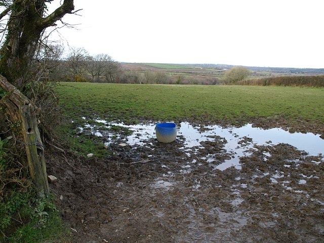
Image: © Derek Harper Taken: 27 Mar 2008
Ashmansworthy is on a hill between a tributary of Dipple Water, towards which this long rectangular field slopes, and the Torridge. Taken from the side of an area on the east side of the hamlet that might have been a green or a pound, beside the lane to Dipple.
Images are licensed for reuse under creativecommons.org/licenses/by-sa/2.0
Image Location
Latitude
50.938416
Longitude
-4.362588