Denmead Burial Ground, Cemetery Lane
Introduction
The photograph on this page of Denmead Burial Ground, Cemetery Lane by Peter Facey as part of the Geograph project.
The Geograph project started in 2005 with the aim of publishing, organising and preserving representative images for every square kilometre of Great Britain, Ireland and the Isle of Man.

There are currently over 7.5m images from over 14,400 individuals and you can help contribute to the project by visiting https://www.geograph.org.uk
Denmead Burial Ground, Cemetery Lane
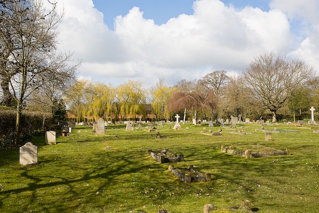
Image: © Peter Facey Taken: 27 Mar 2008
Operated by Denmead Parish Council
Images are licensed for reuse under creativecommons.org/licenses/by-sa/2.0
Image Location
Latitude
50.905554
Longitude
-1.068405