Ballinger Bottom
Introduction
The photograph on this page of Ballinger Bottom by Jonathan Billinger as part of the Geograph project.
The Geograph project started in 2005 with the aim of publishing, organising and preserving representative images for every square kilometre of Great Britain, Ireland and the Isle of Man.

There are currently over 7.5m images from over 14,400 individuals and you can help contribute to the project by visiting https://www.geograph.org.uk
Ballinger Bottom
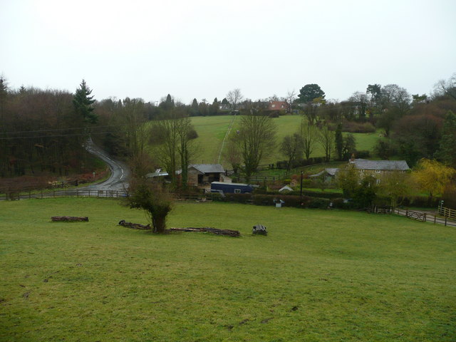
Image: © Jonathan Billinger Taken: 28 Mar 2008
This is the northern equivalent to that at Image The mile or so in between the dry valleys is Ballinger Common upon which the eponymous village sits.
Images are licensed for reuse under creativecommons.org/licenses/by-sa/2.0
Image Location
Latitude
51.723622
Longitude
-0.680771