Sandown Road, Woodmansterne
Introduction
The photograph on this page of Sandown Road, Woodmansterne by Malc McDonald as part of the Geograph project.
The Geograph project started in 2005 with the aim of publishing, organising and preserving representative images for every square kilometre of Great Britain, Ireland and the Isle of Man.

There are currently over 7.5m images from over 14,400 individuals and you can help contribute to the project by visiting https://www.geograph.org.uk
Sandown Road, Woodmansterne
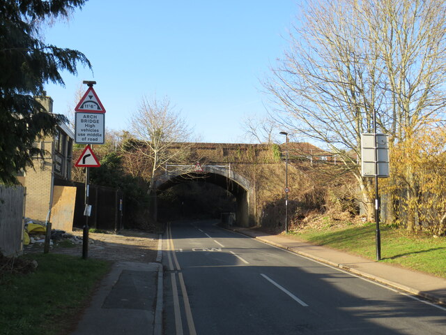
Image: © Malc McDonald Taken: 19 Feb 2023
Sandown Road in Woodmansterne, on the outer fringe of south London. Here, the road passes beneath a bridge carrying a railway line before turning sharply to the right.
Images are licensed for reuse under creativecommons.org/licenses/by-sa/2.0
Image Location
Latitude
51.31728
Longitude
-0.160933