Carshalton Road, near Banstead
Introduction
The photograph on this page of Carshalton Road, near Banstead by Malc McDonald as part of the Geograph project.
The Geograph project started in 2005 with the aim of publishing, organising and preserving representative images for every square kilometre of Great Britain, Ireland and the Isle of Man.

There are currently over 7.5m images from over 14,400 individuals and you can help contribute to the project by visiting https://www.geograph.org.uk
Carshalton Road, near Banstead
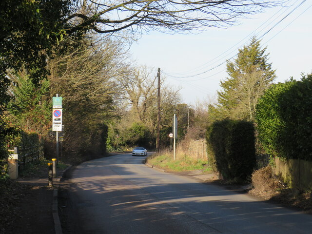
Image: © Malc McDonald Taken: 19 Feb 2023
Carshalton Road forms part of the route of the B278. Here, the road crosses the border from Surrey into Greater London. The road signs indicate that parking restrictions change at the boundary. This road is on route 20 of the National Cycle Network.
Images are licensed for reuse under creativecommons.org/licenses/by-sa/2.0
Image Location
Latitude
51.329473
Longitude
-0.170063