Cycle track near Banstead
Introduction
The photograph on this page of Cycle track near Banstead by Malc McDonald as part of the Geograph project.
The Geograph project started in 2005 with the aim of publishing, organising and preserving representative images for every square kilometre of Great Britain, Ireland and the Isle of Man.

There are currently over 7.5m images from over 14,400 individuals and you can help contribute to the project by visiting https://www.geograph.org.uk
Cycle track near Banstead
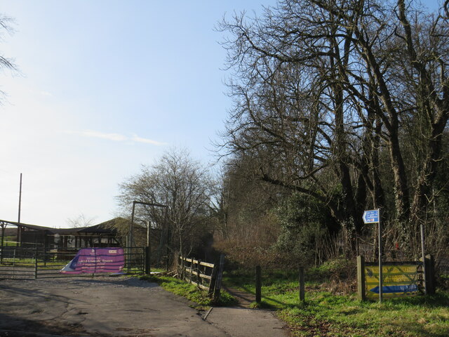
Image: © Malc McDonald Taken: 19 Feb 2023
The blue sign to the right of the image indicates that National Cycle Network route 20 follows the muddy track through the wooden posts.
Images are licensed for reuse under creativecommons.org/licenses/by-sa/2.0
Image Location
Latitude
51.334562
Longitude
-0.167707