High Street, Neilston
Introduction
The photograph on this page of High Street, Neilston by Richard Sutcliffe as part of the Geograph project.
The Geograph project started in 2005 with the aim of publishing, organising and preserving representative images for every square kilometre of Great Britain, Ireland and the Isle of Man.

There are currently over 7.5m images from over 14,400 individuals and you can help contribute to the project by visiting https://www.geograph.org.uk
High Street, Neilston
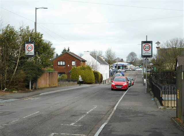
Image: © Richard Sutcliffe Taken: 23 Feb 2023
Looking from where Kingston Road ends and High Street begins. The 20 MPH limit is because Neilston Primary School and Madras Family Centre are further along the street on the right.
Images are licensed for reuse under creativecommons.org/licenses/by-sa/2.0
Image Location
Latitude
55.783331
Longitude
-4.425695