Lastingham Terrace
Introduction
The photograph on this page of Lastingham Terrace by Ian Capper as part of the Geograph project.
The Geograph project started in 2005 with the aim of publishing, organising and preserving representative images for every square kilometre of Great Britain, Ireland and the Isle of Man.

There are currently over 7.5m images from over 14,400 individuals and you can help contribute to the project by visiting https://www.geograph.org.uk
Lastingham Terrace
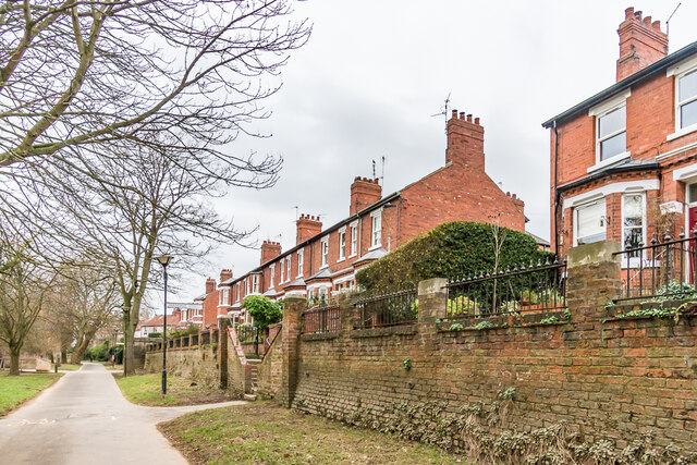
Image: © Ian Capper Taken: 4 Feb 2023
Turn of the 19th/20th Centuries terrace in three sections, overlooking New Walk alongside the River Ouse and running across the end of Hartoft Street and Farndale Street. It was first marked on the 1909 25 inch map.
Images are licensed for reuse under creativecommons.org/licenses/by-sa/2.0
Image Location


Leaflet Map data © OpenStreetMap
Latitude
53.948271
Longitude
-1.078491