Tibbermore Church & Graveyard
Introduction
The photograph on this page of Tibbermore Church & Graveyard by Arthur Bruce as part of the Geograph project.
The Geograph project started in 2005 with the aim of publishing, organising and preserving representative images for every square kilometre of Great Britain, Ireland and the Isle of Man.

There are currently over 7.5m images from over 14,400 individuals and you can help contribute to the project by visiting https://www.geograph.org.uk
Tibbermore Church & Graveyard
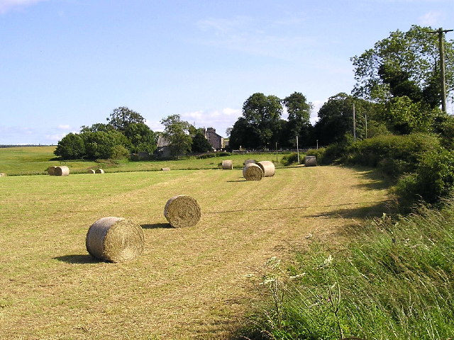
Image: © Arthur Bruce Taken: Unknown
This is a picture taken just after the harvest was taken in showing bales of straw just to the north of Tibbermore Church & Graveyard this Church is no longer in use. Parishioners now use St. Serf's Church at Almondbank.
Images are licensed for reuse under creativecommons.org/licenses/by-sa/2.0
Image Location


Leaflet Map data © OpenStreetMap
Latitude
56.395096
Longitude
-3.538963