Highridge Walk
Introduction
The photograph on this page of Highridge Walk by HelenK as part of the Geograph project.
The Geograph project started in 2005 with the aim of publishing, organising and preserving representative images for every square kilometre of Great Britain, Ireland and the Isle of Man.

There are currently over 7.5m images from over 14,400 individuals and you can help contribute to the project by visiting https://www.geograph.org.uk
Highridge Walk
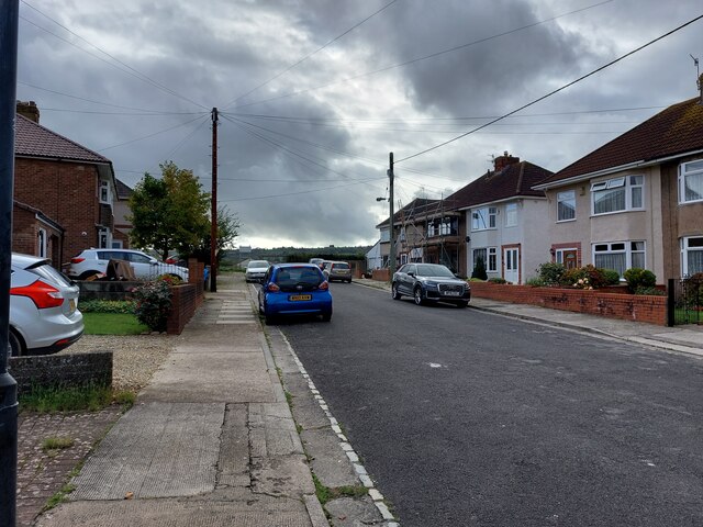
Image: © HelenK Taken: 25 Oct 2022
An unpretentious cul-de-sac of semi-detached houses, ending in a relaxing view across Bedminster Down School's playing fields https://sports-facilities.co.uk/sites/view/1204508 .
Images are licensed for reuse under creativecommons.org/licenses/by-sa/2.0
Image Location
Latitude
51.419312
Longitude
-2.629257