Former snooker club frontage
Introduction
The photograph on this page of Former snooker club frontage by David Lally as part of the Geograph project.
The Geograph project started in 2005 with the aim of publishing, organising and preserving representative images for every square kilometre of Great Britain, Ireland and the Isle of Man.

There are currently over 7.5m images from over 14,400 individuals and you can help contribute to the project by visiting https://www.geograph.org.uk
Former snooker club frontage
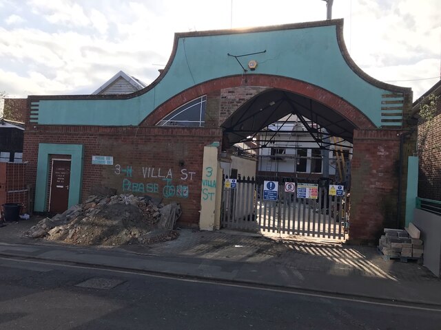
Image: © David Lally Taken: 21 Feb 2023
The development behind has been under construction for at least a year I think. After being the snooker club Image it was briefly a ladies-only gym Image
Images are licensed for reuse under creativecommons.org/licenses/by-sa/2.0
Image Location
Latitude
52.927994
Longitude
-1.215113