Fulford Place
Introduction
The photograph on this page of Fulford Place by Ian Capper as part of the Geograph project.
The Geograph project started in 2005 with the aim of publishing, organising and preserving representative images for every square kilometre of Great Britain, Ireland and the Isle of Man.

There are currently over 7.5m images from over 14,400 individuals and you can help contribute to the project by visiting https://www.geograph.org.uk
Fulford Place
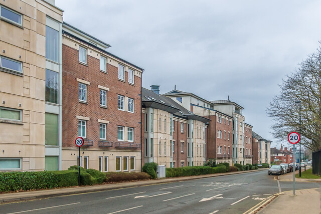
Image: © Ian Capper Taken: 4 Feb 2023
Development of apartment blocks on Hospital Fields Road completed in 2003, with Heslington House nearest.
Images are licensed for reuse under creativecommons.org/licenses/by-sa/2.0
Image Location
Latitude
53.945025
Longitude
-1.074753