River Roding at Passingford Bridge
Introduction
The photograph on this page of River Roding at Passingford Bridge by Nigel Cox as part of the Geograph project.
The Geograph project started in 2005 with the aim of publishing, organising and preserving representative images for every square kilometre of Great Britain, Ireland and the Isle of Man.

There are currently over 7.5m images from over 14,400 individuals and you can help contribute to the project by visiting https://www.geograph.org.uk
River Roding at Passingford Bridge
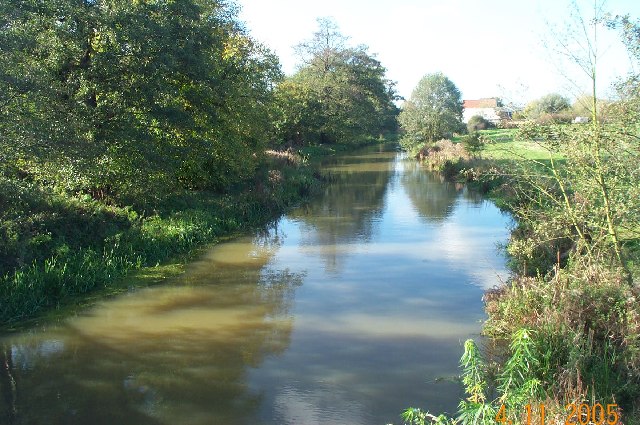
Image: © Nigel Cox Taken: 4 Nov 2005
Viewed looking westwards and downstream from the A113 road bridge, Passingford Mill, which is the subject of the first geograph in this square, is visible in the distance.
Images are licensed for reuse under creativecommons.org/licenses/by-sa/2.0
Image Location
Latitude
51.655299
Longitude
0.171359