Fulford Arms
Introduction
The photograph on this page of Fulford Arms by Ian Capper as part of the Geograph project.
The Geograph project started in 2005 with the aim of publishing, organising and preserving representative images for every square kilometre of Great Britain, Ireland and the Isle of Man.

There are currently over 7.5m images from over 14,400 individuals and you can help contribute to the project by visiting https://www.geograph.org.uk
Fulford Arms
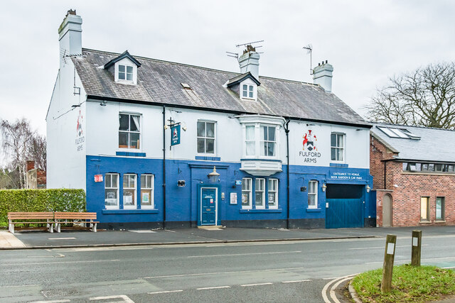
Image: © Ian Capper Taken: 4 Feb 2023
Pub on Fulford Road opened in 1801 as the Barrack Tavern, named after the adjacent cavalry barracks which had been constructed in 1795. It was renamed in the 1970s.
Images are licensed for reuse under creativecommons.org/licenses/by-sa/2.0
Image Location
Latitude
53.947165
Longitude
-1.073746