Crib House Lane
Introduction
The photograph on this page of Crib House Lane by Neil Owen as part of the Geograph project.
The Geograph project started in 2005 with the aim of publishing, organising and preserving representative images for every square kilometre of Great Britain, Ireland and the Isle of Man.

There are currently over 7.5m images from over 14,400 individuals and you can help contribute to the project by visiting https://www.geograph.org.uk
Crib House Lane
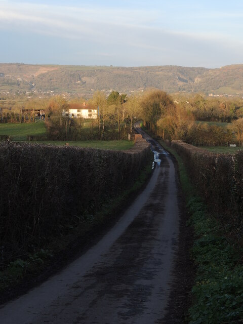
Image: © Neil Owen Taken: 5 Feb 2023
Just down the hill from Crickham Elm. The Mendip hills are soaking up the last of the late afternoon sunlight.
Images are licensed for reuse under creativecommons.org/licenses/by-sa/2.0
Image Location


Leaflet Map data © OpenStreetMap
Latitude
51.25048
Longitude
-2.813216