Dunningley Lane
Introduction
The photograph on this page of Dunningley Lane by Stephen Craven as part of the Geograph project.
The Geograph project started in 2005 with the aim of publishing, organising and preserving representative images for every square kilometre of Great Britain, Ireland and the Isle of Man.

There are currently over 7.5m images from over 14,400 individuals and you can help contribute to the project by visiting https://www.geograph.org.uk
Dunningley Lane
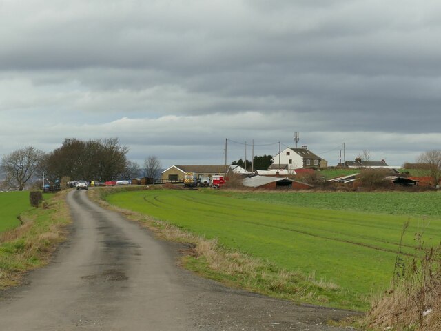
Image: © Stephen Craven Taken: 19 Feb 2023
The single-track road is shown as a public footpath along its full length, so probably a private one as far as motor traffic is concerned. A locked gate across it beyond the group of houses in the distance prevents through traffic to the A653 anyway.
Images are licensed for reuse under creativecommons.org/licenses/by-sa/2.0
Image Location
Latitude
53.73671
Longitude
-1.565485