View over Brinscombe and Froghole Farm
Introduction
The photograph on this page of View over Brinscombe and Froghole Farm by David Martin as part of the Geograph project.
The Geograph project started in 2005 with the aim of publishing, organising and preserving representative images for every square kilometre of Great Britain, Ireland and the Isle of Man.

There are currently over 7.5m images from over 14,400 individuals and you can help contribute to the project by visiting https://www.geograph.org.uk
View over Brinscombe and Froghole Farm
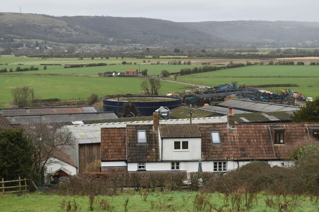
Image: © David Martin Taken: 18 Feb 2023
The settlement in the distance is Axbridge, at the foot of the Mendip Hills.
Images are licensed for reuse under creativecommons.org/licenses/by-sa/2.0
Image Location


Leaflet Map data © OpenStreetMap
Latitude
51.267439
Longitude
-2.831146