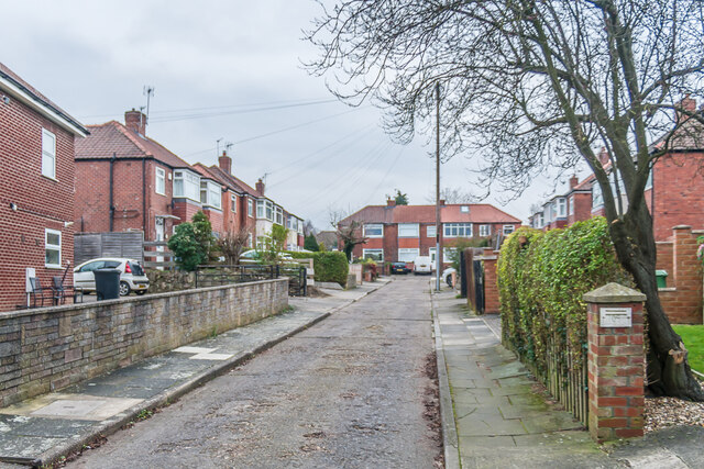
Maida Grove
Introduction
The photograph on this page of Maida Grove by Ian Capper as part of the Geograph project.
The Geograph project started in 2005 with the aim of publishing, organising and preserving representative images for every square kilometre of Great Britain, Ireland and the Isle of Man.
There are currently over 7.5m images from over 14,400 individuals and you can help contribute to the project by visiting https://www.geograph.org.uk

Image: © Ian Capper Taken: 4 Feb 2023
Cul-de-sac off Fulford Road built in the c.1930s, first shown on the 1940 25 inch map on the site of a house named Kilburn House. which was demolished c.1920. This had originally been called Fulford Lodge but was renamed in the 1870s by Alderman Joseph Agar, a leather merchant and three times Lord Mayor of York in the 1880s, who was born in Kilburn in North Yorkshire and who bought the house in 1875. However it seems that the developers of the area assumed it was Kilburn in north west London, and so named the streets they built after other such places - e.g. Maida (Vale).

